


…
It’s the thrill of the HUNT!
…
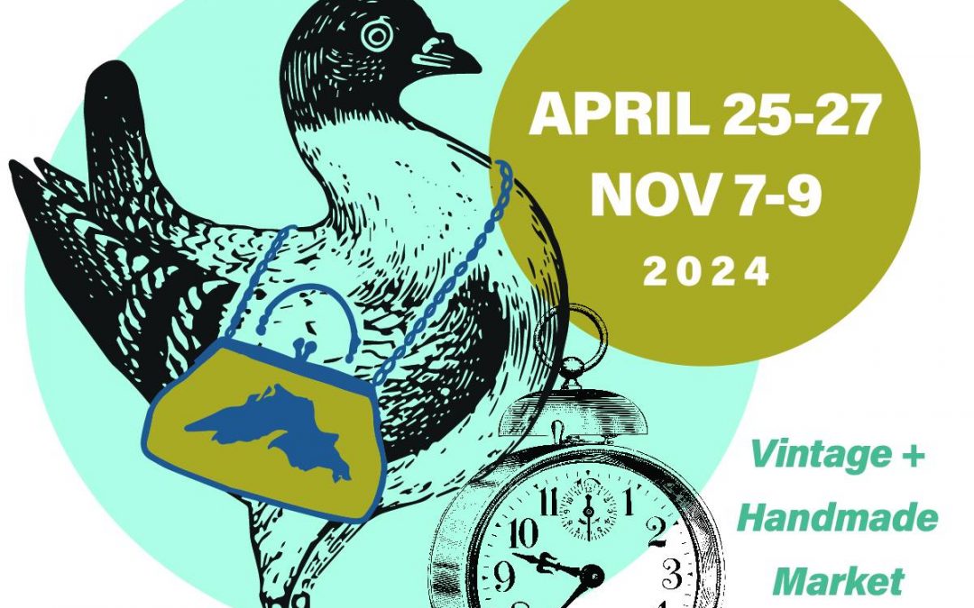
The Duluth Junk Hunt is a three-day indoor market that is filled with rusty, chippy, vintage goodness! Vendors come from all over the state of MN and beyond bringing in the coolest antique finds & repurposed pieces! Furniture, home decor, jewelry… and incredible JUNK that will give you all the heart-eyes! Come junk with us! Our markets happen in April and November, at the Duluth Entertainment Convention Center (DECC) in scenic Duluth, MN.
…

…
Event
Thursday, April 25th through Saturday, April 27th
…
Location
Join us at the DECC
350 Harbor Drive
Duluth, MN
…
doitinnorth shop/share gallery
Junk Hunter Shirt Vintage Old School Truck Antique Car T-Shirt
…